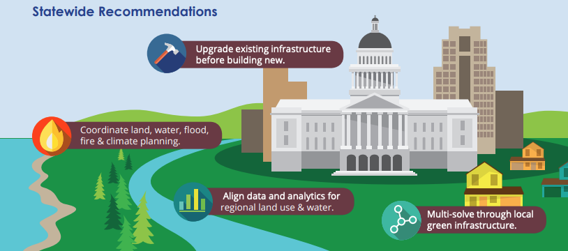
California is moving toward a more holistic approach to managing our water and land resources as the 21st century unfolds. This perspective recognizes the interconnectivity between two traditionally fragmented sectors.
Water and Land Use
Ensuring Equitable Engagement in Coordinated Planning
July 9, 2020
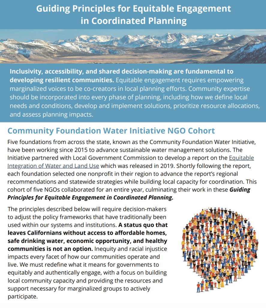
Five nonprofits have been working together with the Local Government Commission as part of the Community Foundation Water Initiative to equitably integrate water management and land use decision making through their organizations. The briefing will specifically cover the role that coordinated planning plays in public engagement efforts.
cohosted by

Featured Resources
In 2005, the California Legislature passed new laws that enable communities to join together to adopt Integrated Regional Water Management (IRWM) policies and practices. This comprehensive planning approach considers water and related land resources as an interconnected regional system rather than as a combination of fragmented parts.
Local jurisdictions across the state convene as Regional Water Management Groups to implement their plans. Anticipated and realized benefits of IRWM include improved cost-effectiveness and outcomes for planning and management of water quality and supply, as well as better distribution of water between ecosystem and human use.
While water management and land-use planning remain highly fragmented across the nation, many states are moving toward this more integrated approach, especially when setting new state-level policies, regulations, and guidance.
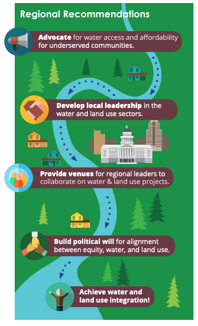
California is incredibly diverse – in its geography, climate, culture, governance and infrastructure. The report’s five regions – represented by the five partners in the Community Foundation Water Initiative – are unique. Indeed, there is great diversity even within each region. While each region is made up of a collection of cities, counties and unincorporated areas, each with similar authority and governance structures, the specific character of local governance and decision-making within each region varies greatly. Similarly, each region faces its own unique water and land-use challenges.

For the purposes of this project, the Central Valley Region is defined by the area of impact from the Central Valley Community Foundation. The region comprises six counties: Fresno, Madera, Mariposa, Merced, Tulare, and Kings and encompasses 34 incorporated cities. All data presented herein refers to these geographic boundaries.
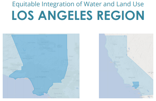
For the purposes of this project, the Los Angeles Region is defined by the area of impact from the California Community Foundation. The region comprises the entire geographic boundary of the County of Los Angeles, and encompasses 88 incorporated cities. All data presented herein refers to these geographic boundaries.
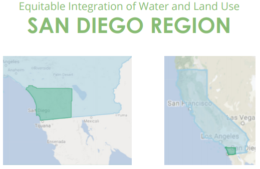
For the purposes of this project, the San Diego Region is defined by the area of impact from the San Diego Foundation. The region comprises the entire geographic boundary of the County of San Diego, and encompasses 18 incorporated cities. All data presented herein refers to these geographic boundaries.

For the purposes of this project, the San Francisco region is defined by the area of impact by the San Francisco Foundation. The region comprises the following five counties: Alameda, Contra Costa, Marin, San Francisco, and San Mateo; and encompasses 65 incorporated cities. All data presented herein refers to these geographic boundaries.
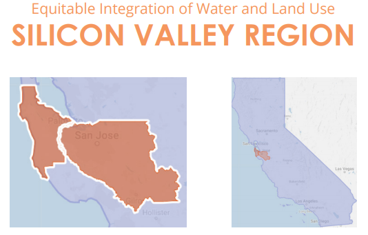
For the purposes of this project, the Silicon Valley Region is defined by the area of impact from the Silicon Valley Community Foundation. The region comprises San Mateo and Santa Clara Counties, and encompasses 35 incorporated cities. All data presented herein refers to these geographic boundaries.

