

As many communities continue to grow in patterns of low-density sprawl, forward thinking planners are looking for ways to develop long range plans that emphasize infill and compact development. This can be a formidable task when these planning principles are met with public resistance.
Participatory Land-Use Mapping is a technique used to involve members of the public in exploring local and regional land-use planning issues. Residents are, in effect, put in the driver’s seat and challenged to devise solutions to the problem of meeting the community’s projected growth needs while protecting the community’s economic, environmental, and social well-being.
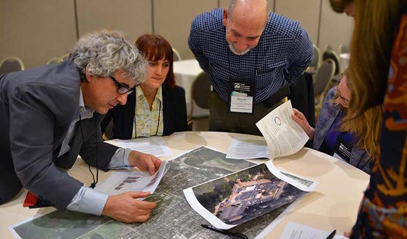
One format used to work through these challenges is similar to a board game. Participants are given color-coded pieces, which represent the new development anticipated to take place in a city or region, based on accepted growth projections. These color-coded pieces or chips may represent additional growth at current or anticipated development densities. In other cases, chips may represent different types of development such as single-family homes, townhouses, apartments, retail centers, office buildings, etc. Community members play out different development strategies by constructing them with chips on the maps.
During a workshop, small groups of 6 to 10 people are provided with a local or regional map, which serves as the board. Each map shows areas that are built-out, parks, vacant land, open space, and natural features which constrain new development such as floodplains, steep slopes, farmland, sensitive vegetation and endangered habitats.
Another format for Participatory Land Use Mapping utilizes GIS (Geographic Information System) software tools. GIS software can help policy makers and stakeholders to make more informed and more effective decisions by relating data with place. GIS can take an overwhelming amount of information – tabular, spatial, or graphic – and display it in a way that makes it meaningful to local government staff, policy makers and the public. By displaying information in layers – each layer with a particular issue – it is easier to understand how issues interrelate. To learn more about GIS and its uses, read our factsheet “Geographic Information Systems: A Tool For Improving Community Livability.”
Through Participatory Land-Use Mapping, community members learn about the hazards of inefficient land-use and the challenge of accommodating a growing population in a compact urban area without densifying development and adopting alternative modes of transportation. The end result is often the fostering of public support for smart growth principles.
Who Benefits from Participatory Land Use Mapping?
Through Participatory Land-Use Mapping, community members are given an opportunity to juggle the competing demands played out in the growth and development arena. The exercise often helps them better understand the complex dynamics of sustaining a high quality of life in the face of development pressure.
In addition to providing valuable input to the current planning process, Participatory Land-Use Mapping also serves as an important form of public education. Participants of Land-Use Mapping sessions benefit from an increased understanding of the land-use and development issues facing their community. Armed with this knowledge, a community is more likely to make wiser community planning choices in the future.
Size and Scope of Mapping Sessions
Depending on the depth of information sought by planners, a mapping session may take the form of a three hour meeting, an all day workshop, or multi-day event. The number of people who participate in a session may range from 25 to 500, depending on the scope of the project.